
AERIAL SERVICES
DRONE SERVICES
Advanced Aerial Services with FAA-Certified Operators
Schedule a Service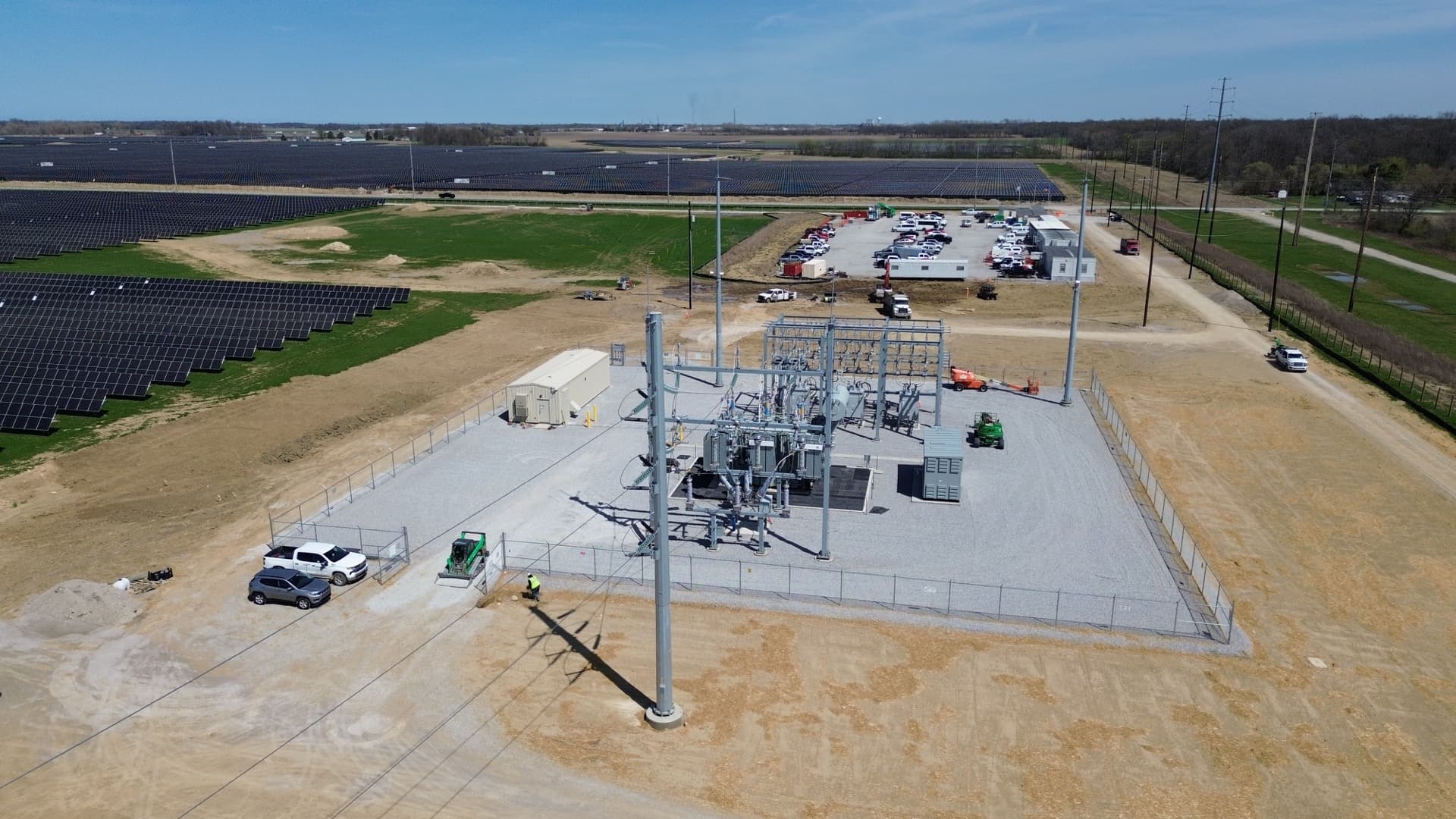
World-Class Aerial Inspections from the Ground Up
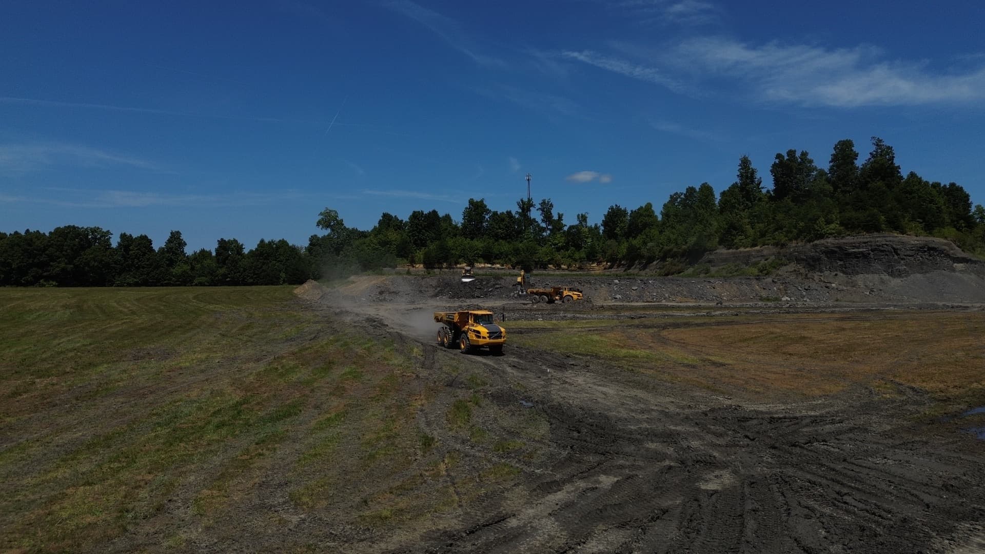
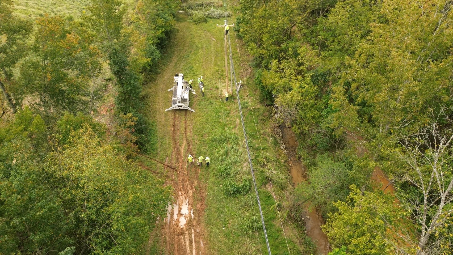
PraXel's FAA-certified drone operators bring advanced aerial inspection technology to electrical infrastructure inspection. Using high-resolution cameras, thermal infrared imaging, and sophisticated flight systems, we deliver detailed assessments of transmission lines, distribution systems, substations, and rights-of-way — faster, safer, and more cost-effectively than traditional ground-based methods.
Because our drone operators are part of PraXel's line crew operations, they understand exactly what they're looking for — deficiencies, damage, vegetation encroachment, and structural issues that matter to utilities. Our inspection data is delivered in organized, actionable formats to support maintenance planning and asset management.
FAA Part 107 Certified
Certified & Insured Operators
All drone operations are conducted by FAA Part 107 certified pilots — insured, experienced, and compliant with all applicable regulations.
Technology: 4K video, high-resolution still photography, thermal infrared imaging, and LiDAR capability.
Actionable Inspection Data
Every inspection is delivered with organized, actionable data — detailed imagery, thermal reports, LiDAR models, and damage documentation ready to plug directly into your asset management and maintenance planning workflows.

IBEW Code of Excellence
Operated by experienced utility professionals
Our Capabilities
Ready for a Closer Look?
Schedule your drone service today — fast, safe, and comprehensive.